


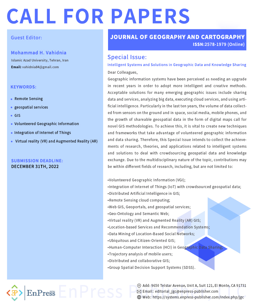
Intelligent Systems and Solutions in Geographic Data and Knowledge Sharing
Dr. Mohammad H. Vahidnia

Special Issue Information
Dear Colleagues,
Geographic information systems have been perceived as needing an upgrade in recent years in order to adopt more intelligent and creative methods. Many believe that collective thought and information sharing can help us tackle the difficulties of the modern world. Acceptable solutions for many emerging geographic issues include sharing data and services, analyzing big data, executing cloud services, and using artificial intelligence. Geospatial data must now be distributed in databases since its isolation makes it useless. Particularly in the last ten years, the volume of data collected from sensors on the ground and in space, social media, mobile phones, and the growth of shareable geospatial data in the form of digital maps call for novel GIS methodologies. To achieve this, it is vital to create new techniques and frameworks that take advantage of volunteered geographic information and data sharing. More than ever, citizen-oriented GIS may assist in resolving urban issues. Standalone GIS systems gradually give way to public participatory GIS and collaborative spatial decision support systems. In addition, attention to sensor networks and innovative approaches to providing location-based services, intelligent recommendations, and ubiquitous GIS is evolving. Besides, the verification of satellite image processing with the use of crowdsourced data and cloud computing on Earth observation products become dominating methodologies. Therefore, this Special Issue intends to collect the achievements of research, theories, and applications related to intelligent systems and solutions to deal with crowdsourcing geospatial data and knowledge exchange. Due to the multidisciplinary nature of the topic, contributions may be within different fields of research, including, but are not limited to:
·Volunteered Geographic Information (VGI);
·Integration of Internet of Things (IoT) with crowdsourced geospatial data;
·Distributed Artificial Intelligence in GIS;
·Remote Sensing cloud computing;
·Web GIS, Geoportals, and geospatial services;
·Geo-Ontology and Semantic Web;
·Virtual reality (VR) and Augmented Reality (AR) GIS;
·Location-based Services and Recommendation Systems;
·Data Mining of Location-Based Social Networks;
·Ubiquitous and Citizen-Oriented GIS;
·Human-Computer Interaction (HCI) in Geographic Data Sharing;
·Trajectory analysis of mobile users;
·Distributed and collaborative GIS;
·Group Spatial Decision Support Systems (SDSS);